| Antique Prints | Autographs | Rare Books | Connecticut | Law |
| Maps | Miscellaneous | Newspapers & Magazines | Historical Memorabilia | Political |
| World War I Posters | World War II Posters |

|
|
|
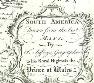
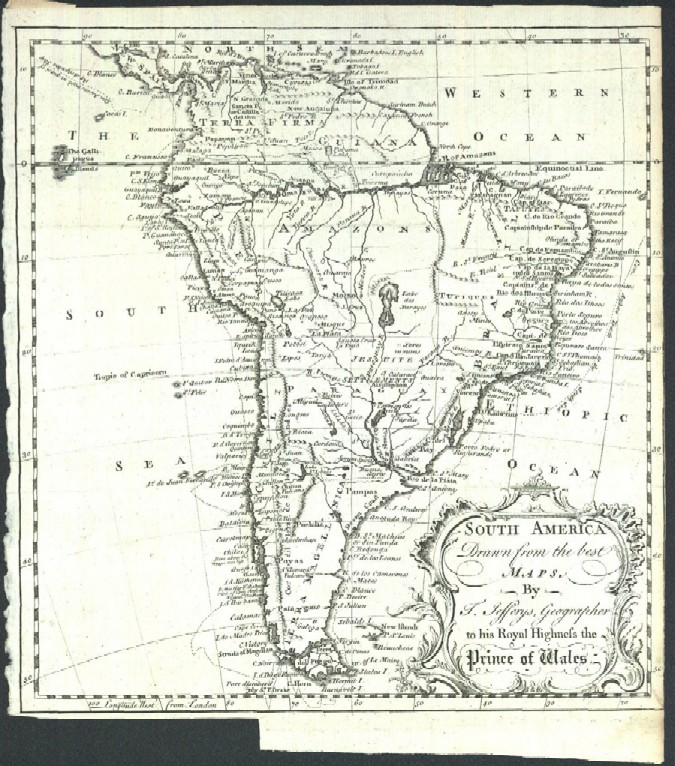
"South America Drawn from the Best Maps, by T. Jefferys, Geographer to His Royal Highness the Prince of Wales"
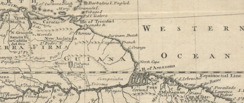
Below is a close-up picture of the northern part of this Jefferys map taken with a different scanner that does a better job of capturing the color of the map.
Date: 1749 Price: SOLD
|