| Antique Prints | Autographs | Rare Books | Connecticut | Law |
| Maps | Miscellaneous | Newspapers & Magazines | Historical Memorabilia | Political |
| World War I Posters | World War II Posters |

|
|
|
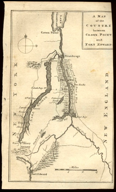
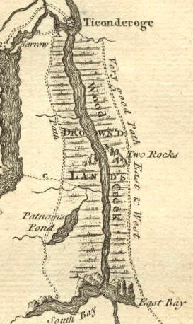
"A Map of the Country between Crown Point and Fort Edward" This map pictures the area Vermont and New York from Lake Champlain to the Hudson River. It is the site of the first military victory of Sir William Johnson, the Irish immigrant who became famous for his relations with the Iroquois and Mohawk Indians and his military victories during the French and Indian War. It also pictures the site of Fort William Henry where the French victory led to a massacre of civilians and military personnel by Indians that was pictured in the film "The Last of the Mohicans."
Date: 1759 Price: SOLD
|