History Gallery

Antique Prints Autographs Rare Books Connecticut Law
Maps Miscellaneous Newspapers & Magazines Historical Memorabilia Political
  World War I Posters   World War II Posters  

HOME       About Us


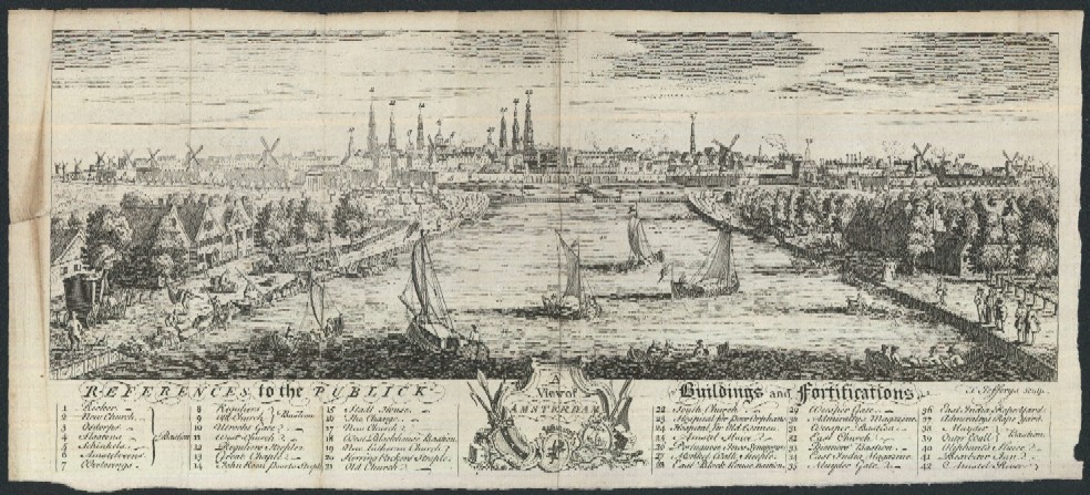
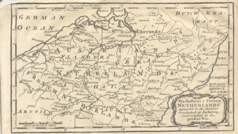
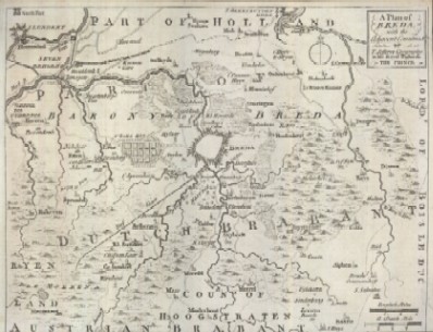
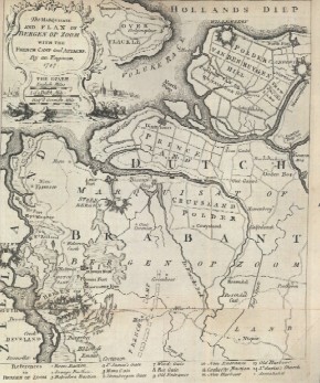
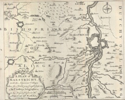
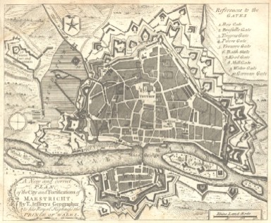
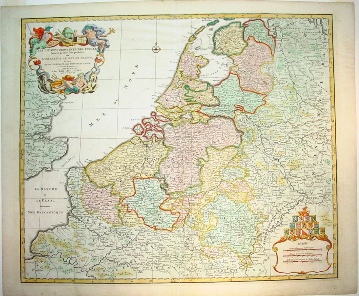
Maps and View of the Netherlands

Click on the pictures or titles below to bring up a higher resolution map with more information, price and a PayPal button to purchase the map via credit card or bank transfer.

1748 View of Amsterdam

1744

"The Austrian & French Netherlands Agreeable to the Barrier Concluded at Antwerp, and Relative to the Present War"

1747

"A Plan of Breda, with the Adjacent Countries by T. Jefferys Geographer, to His Royal Highness the Prince"

1747

"The Marquisate and Plan of Bergen op Zoom with the French Camp and Attacks, by an Engineer. 1747"

1747

"A Plan of Maestricht, with the Adjacent Villages, where the Battle was Fought June 21. By T. Jefferys, Geographer to His Royal Highness the Prince of Wales"

1748

"A New and correct Plan of the City and Fortification of Maestrict. By T. Jefferys Geographer to his Royal Highness the Prince of Wales."


1792

LES DIX-SEPT PROVINCE DES PAYS-BAS

Jan Barend Elwe's Map of the European Low Country and Southeast England